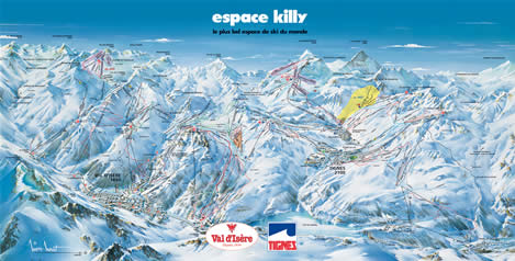
Piste maps
There is an amazing amount of terrain in the Espace Killy area and this is reflected in the size of the piste map! There are a number of different ways you can see the piste map, please choose an option from the following:
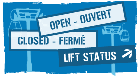
- Full interactive map from tignes.net which allows you to see extra information including up to date status like whether a lift is currently open or not, It's a great way to plan ahead and avoid queuing or being forced to take unsuitable runs.
- Downloadable PDF file [3.2MB] - this has the higest level of detail - you can really zoom in and check the runs
- Or you can view a larger version of the image below [729KB].
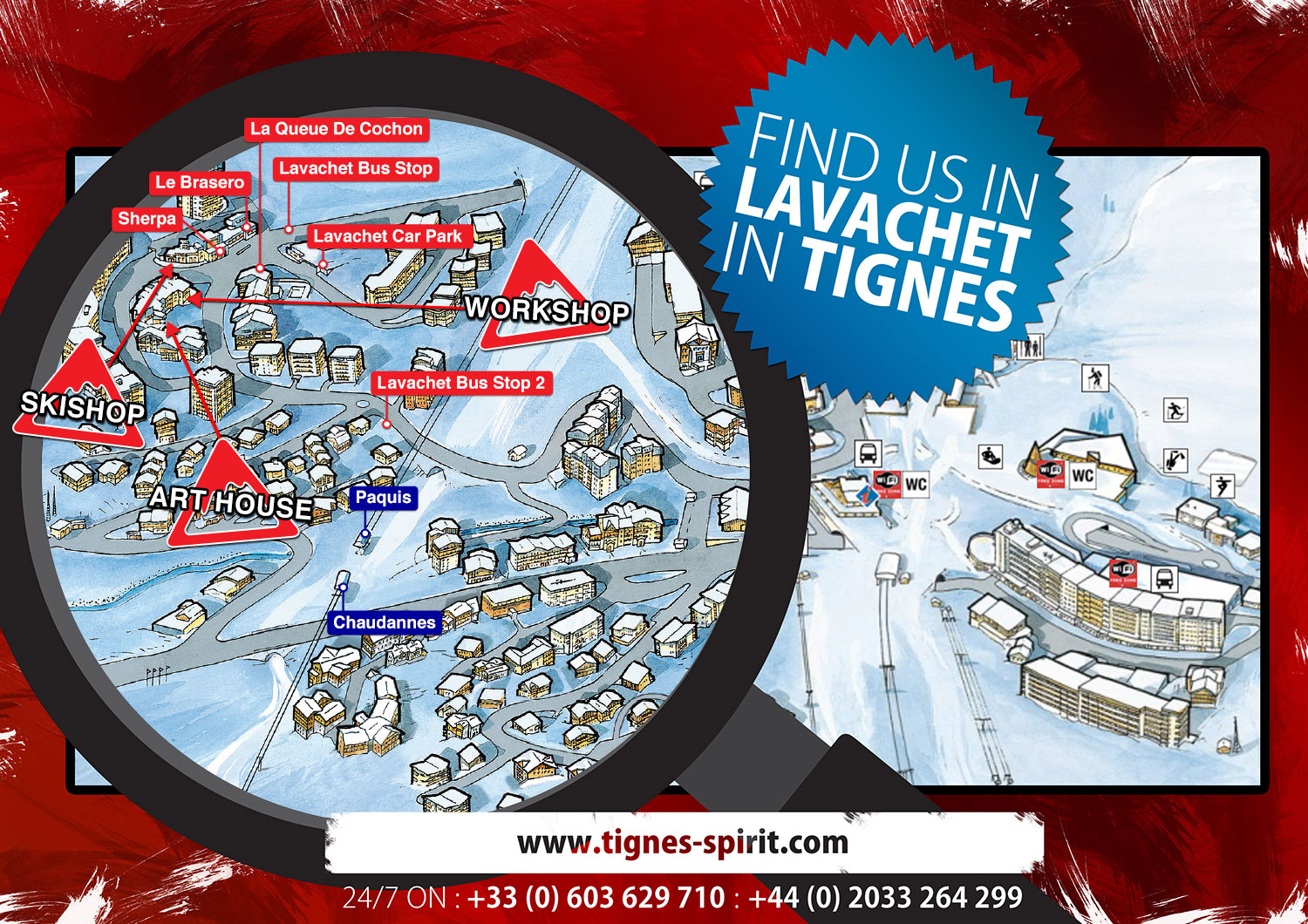
MAP OF TIGNES
Here's a helpful map of Lavachet in Tignes, which shows the location of our SkiShop and Workshop in case you fancy popping by.
Route map
To give you an idea of where you are, help you plan where to go next or to just check out the nearby resorts, here is a location map of Tignes and the surrounding area.
You can also find us on this google map...